GPS/GIS Utility Mapping Experts
What Is GPS/GIS Utility Mapping?
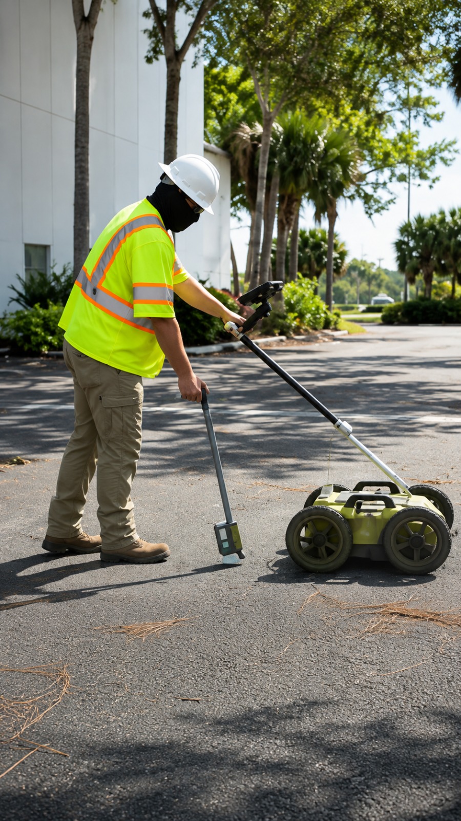
GPS/GIS utility mapping is a professional process used to accurately locate, document, and digitally map underground utilities and infrastructure. GPS technology helps capture precise geographic locations, while GIS organizes utility data into detailed digital maps for easy access and analysis.
This service can document water lines, gas lines, electrical utilities, communication cables, sewer systems, and other underground infrastructure. Accurate mapping gives contractors, engineers, developers, and property owners a clearer understanding of what exists beneath a site before excavation or construction begins.
At Utility Locating & Mapping North Dakota, our GPS/GIS utility mapping services help create organized and reliable underground utility records. These maps can support construction planning, excavation, infrastructure management, and future utility maintenance.
When Is GPS/GIS Utility Mapping Necessary?
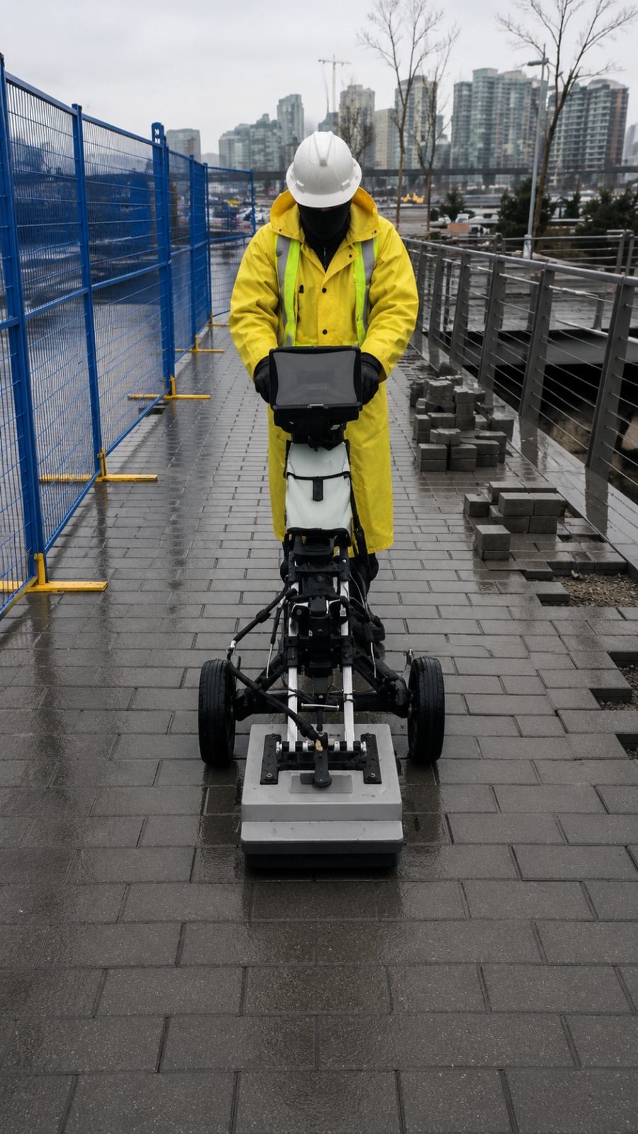
GPS/GIS utility mapping is especially useful before excavation, construction, roadwork, site development, and infrastructure projects where accurate underground utility information is important. Knowing the location of existing utilities can help teams plan work more effectively and reduce unnecessary risks.
It may also be necessary when existing utility records are incomplete, outdated, or difficult to interpret. Digital mapping can bring field-located utility information together in an organized format, making it easier for project teams to understand underground conditions.
For new developments, utility upgrades, expansion projects, and ongoing infrastructure management, GPS/GIS mapping provides valuable location data for future reference. Accurate utility information can help improve project coordination, planning, documentation, and excavation safety.
What Is Required For GPS/GIS Utility Mapping?
Before beginning GPS/GIS utility mapping, project information such as site boundaries, available utility records, existing plans, and project requirements can help establish the scope of the work. Site access and clear project objectives also help ensure the mapping process is properly planned.
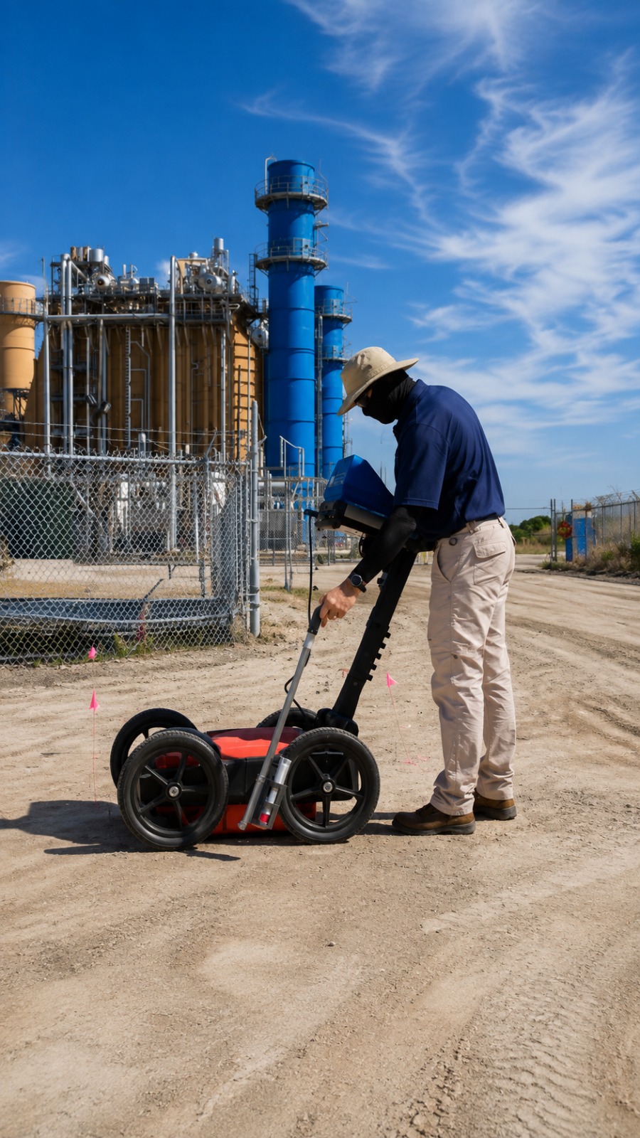
Field data may be collected using GPS equipment, utility locating technology, GPR scanning, and other surveying or detection methods, depending on the site and project requirements. The collected information is then organized into a digital GIS environment for accurate visualization and documentation.
The final GPS/GIS utility map can provide organized information about identified underground infrastructure and its location. By combining field data, utility locating, GPS coordinates, and GIS technology, project teams can obtain useful mapping information for construction planning and infrastructure management.
Our Reviews
What Our Customers Have to Say About Us!
Very professional and reliable service. The team located underground utilities accurately and explained everything clearly. They helped us avoid delays and made our project much safer.

Excellent experience from beginning to end. The utility locating and mapping work was thorough, accurate, and completed on schedule. I would definitely recommend their services.
Great team and excellent attention to detail. They provided accurate utility information and were very professional throughout the project. The service was efficient and dependable.
The Process
3 Step Process For Your GPS/GIS Utility Mapping Needs

Contact Us
Start by completing the 'Get a Free Quote' form on our website to share your GPS/GIS Utility Mapping needs with us.

Schedule Your Estimate
Next, we'll arrange a property visit at a time that works for you to provide an in-person estimate for your GPS/GIS Utility Mapping needs.

Get The Job Done
After you approve our estimate, we'll schedule a date to complete the job. Our team will work hard to exceed your expectations!
Request A Free GPS/GIS Utility Mapping Quote
BUSINESS
SERVICES
SERVICE AREAS
OPERATING HOURS
Sun: Closed
Mon: 7:00am - 7:00pm
Tue: 7:00am - 7:00pm
Wed: 7:00am - 7:00pm
Thu: 7:00am - 7:00pm
Fri: 7:00am - 7:00pm
Sat: 7:00am - 7:00pm