Trusted Utility Locating & GPR Scanning Solutions Throughout North Dakota
Accurate Underground Utility Detection, Mapping & GPR Scanning Across, North Dakota
ABOUT US
Reliable
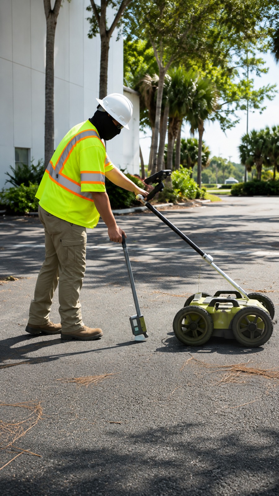
At Utility Locating & Mapping North Dakota, we provide reliable underground utility locating and mapping services designed to help contractors, property owners, engineers, and project teams work with greater confidence. Our services help identify underground infrastructure before excavation, construction, or development begins.
We specialize in Private Utility Locating, Utility Marking, GPR Scanning, Concrete Scanning, Underground Utility Mapping, and GPS/GIS Utility Mapping. Using modern locating and mapping techniques, we focus on delivering accurate information that helps reduce the risk of utility strikes, project delays, and unnecessary excavation issues.
Our goal is to provide professional, precise, and dependable utility locating solutions throughout North Dakota. Whether you are planning a small excavation or a large construction project, our team is committed to helping you better understand what lies beneath the surface and move forward safely and efficiently.
Our Services
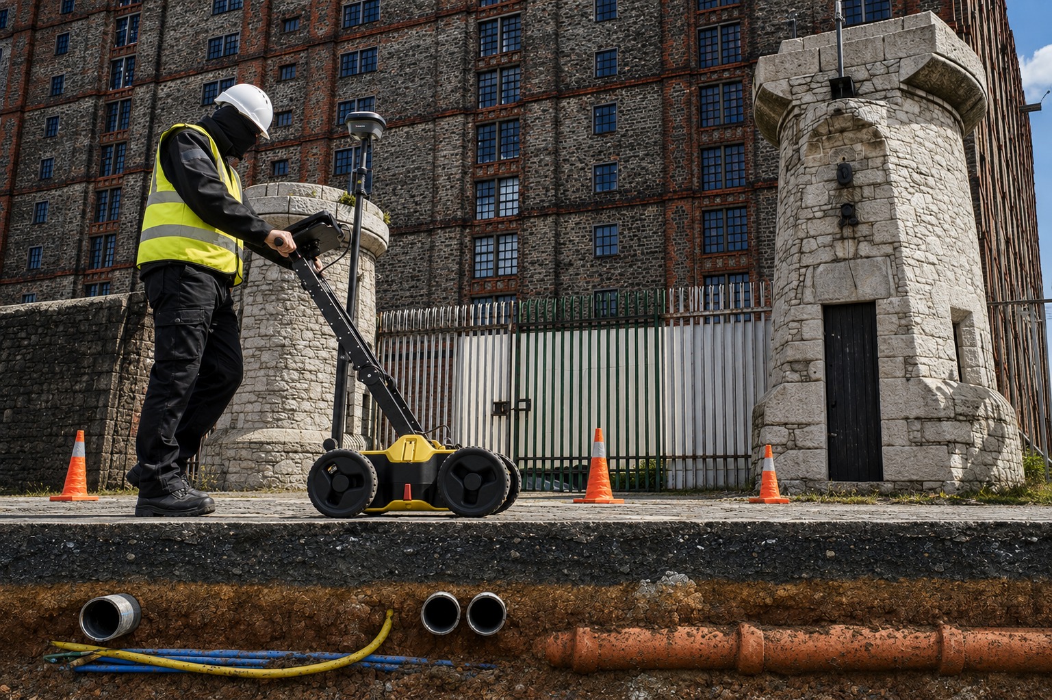
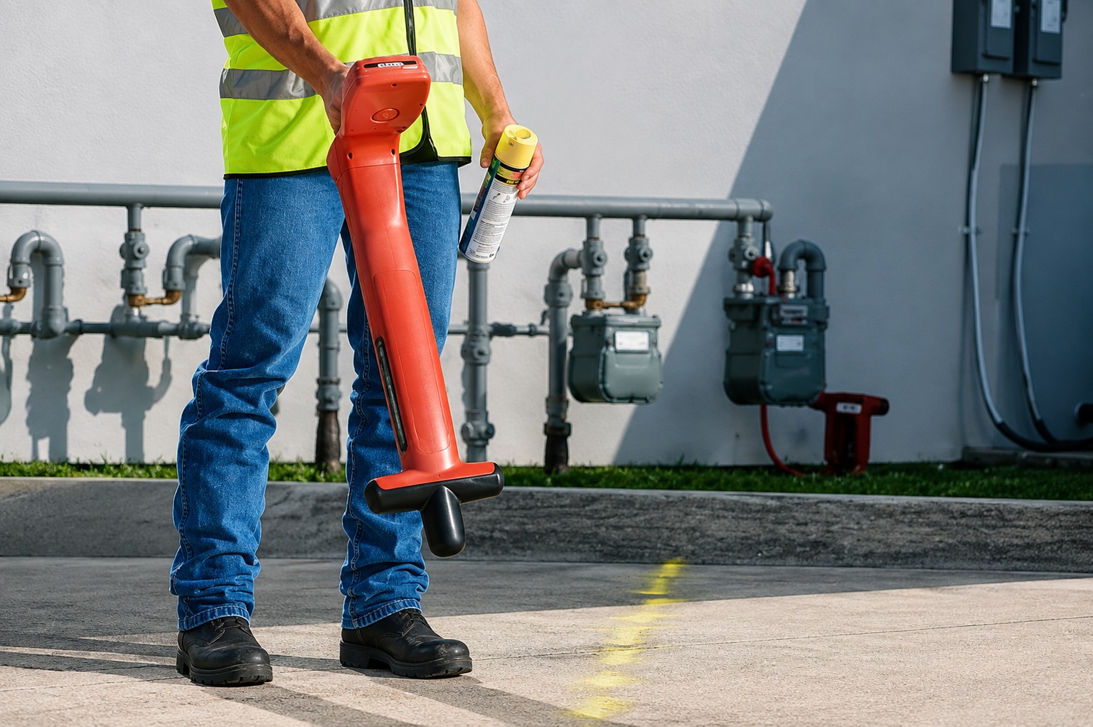
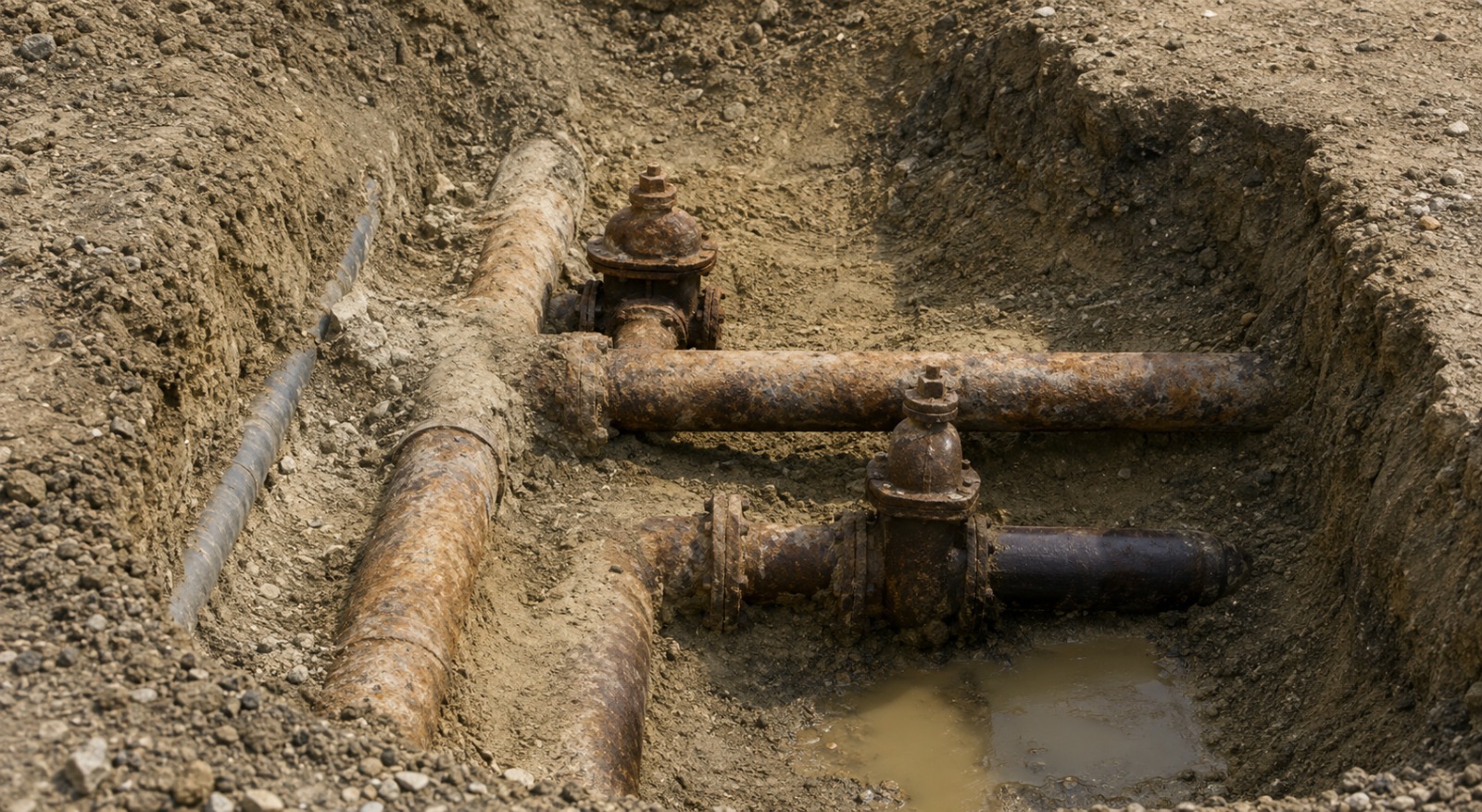
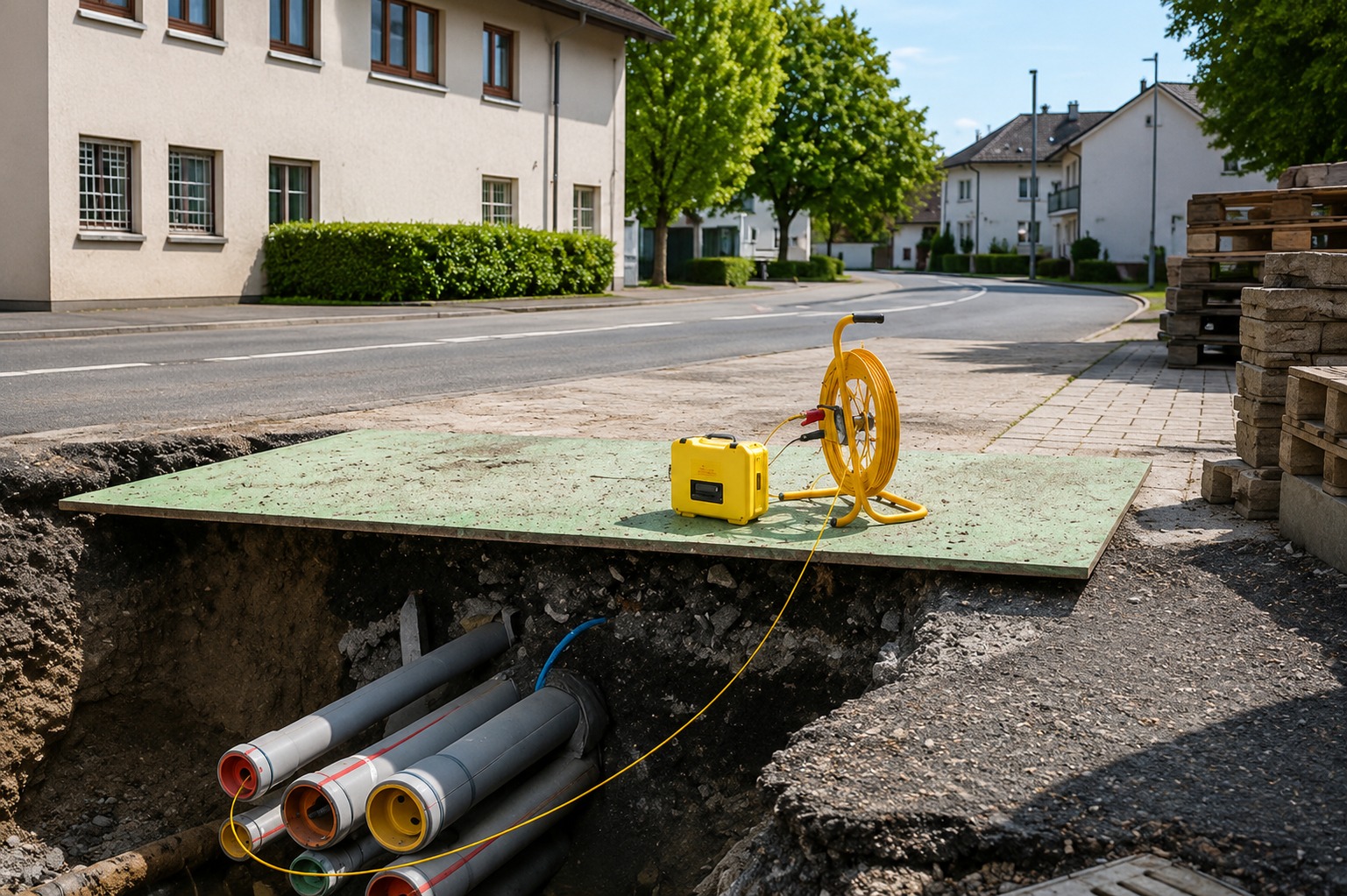
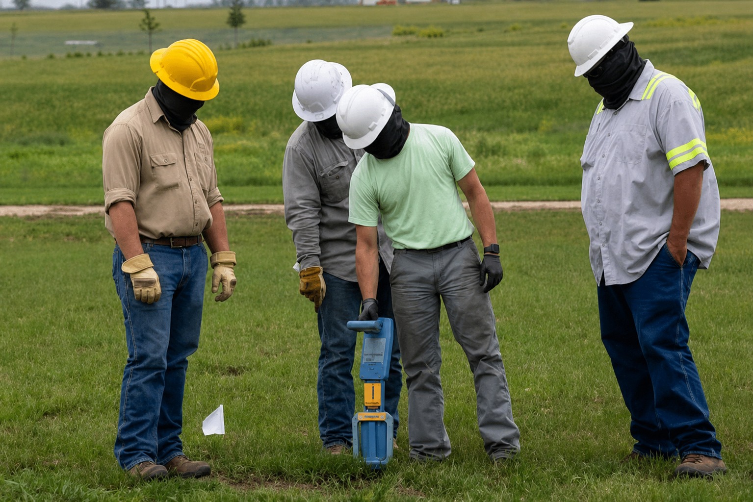
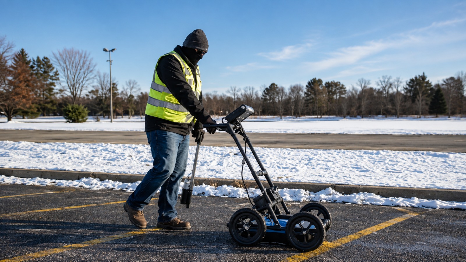
Accurate private utility locating to identify underground lines and infrastructure, helping reduce utility strikes, delays, and excavation risks.
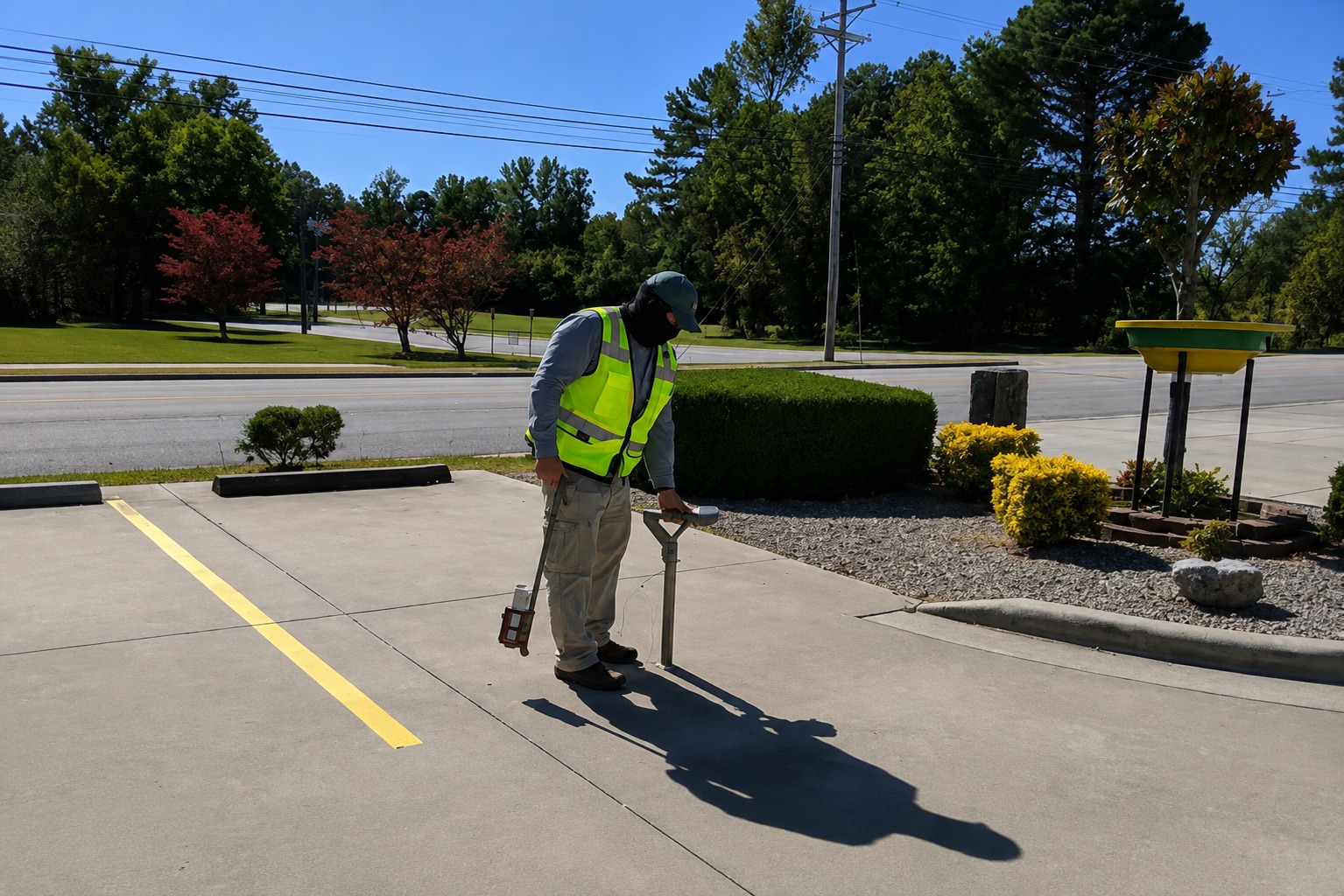
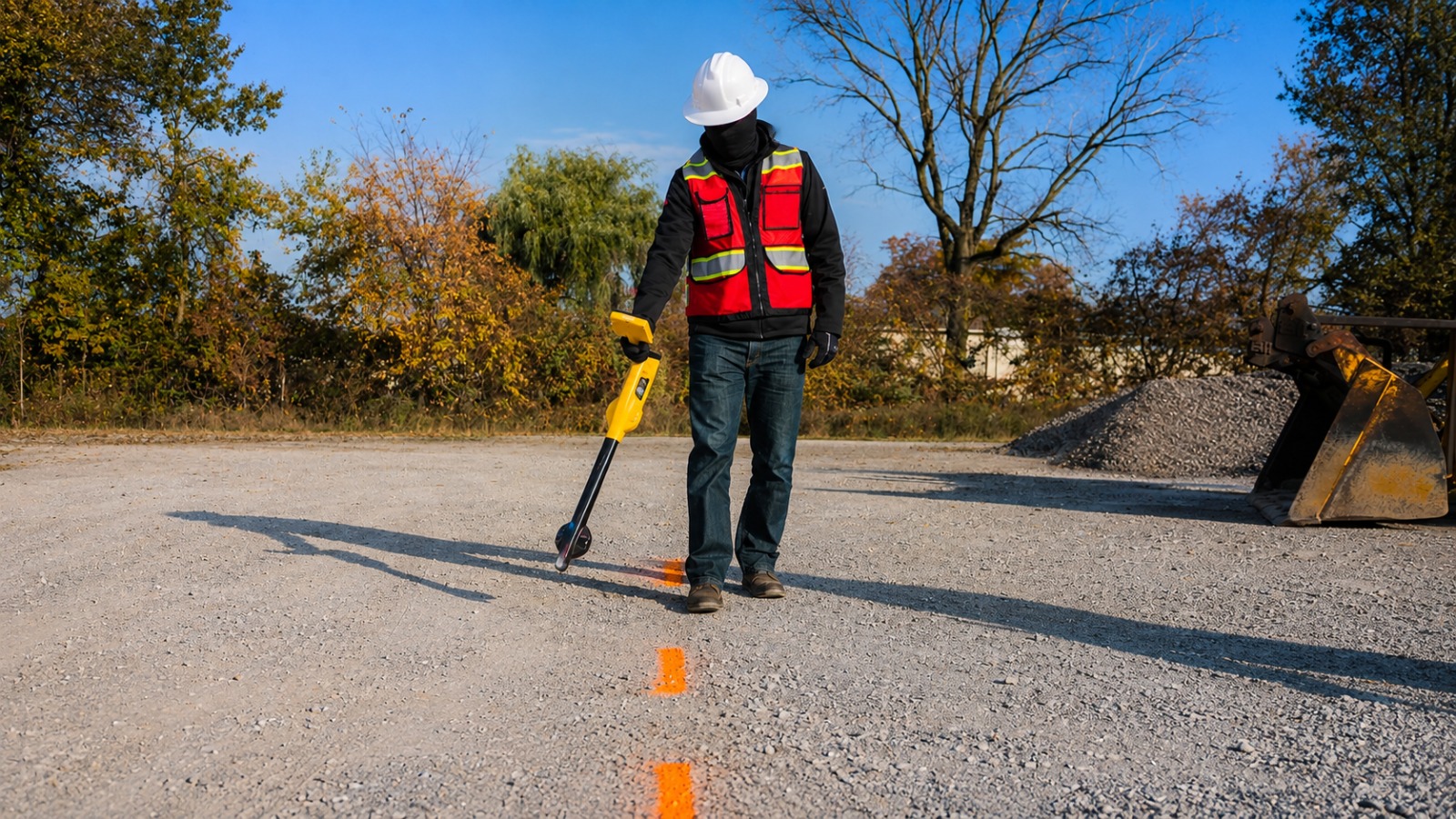
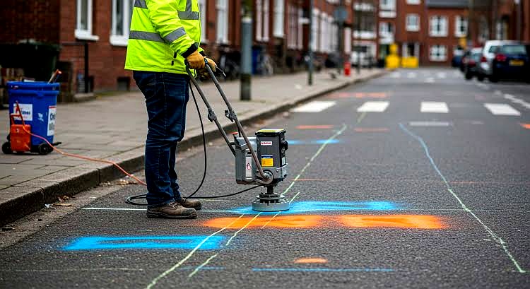
Professional utility marking services that clearly identify underground utility locations, supporting safer excavation and more efficient construction.
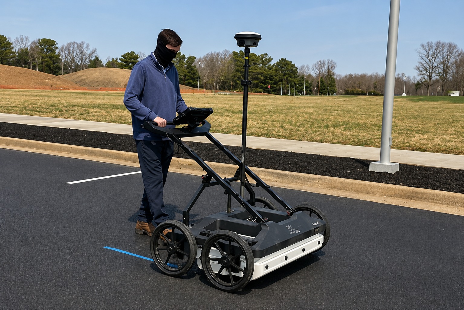
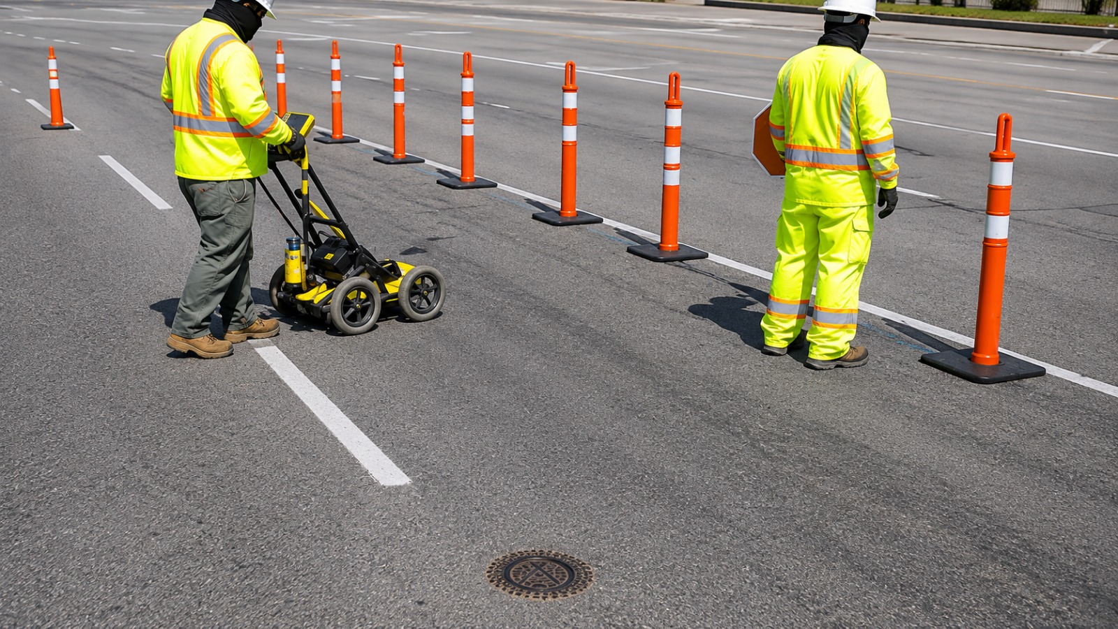
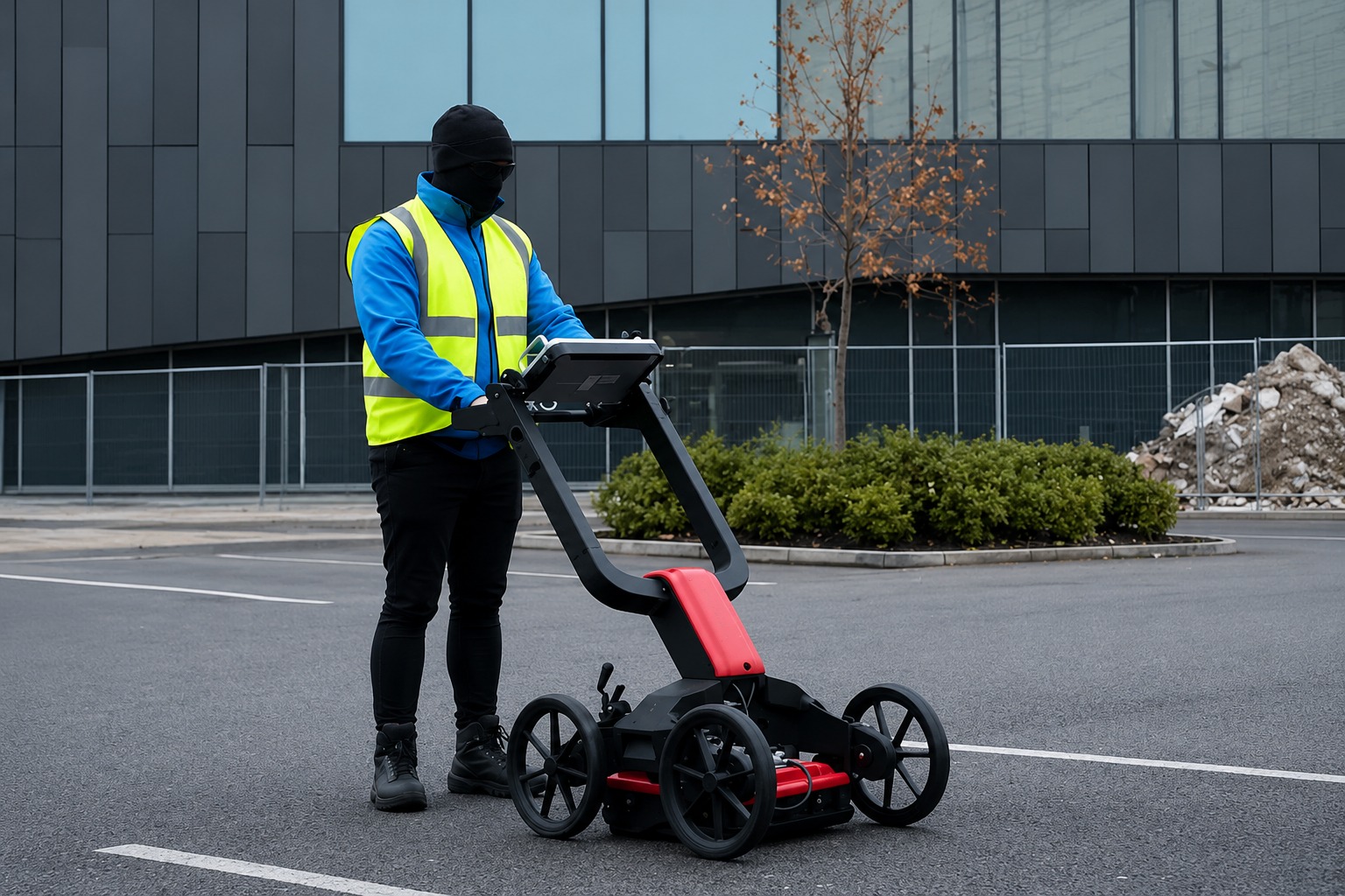
Advanced GPR scanning to detect subsurface utilities and structures without unnecessary excavation, providing valuable information for construction projects.
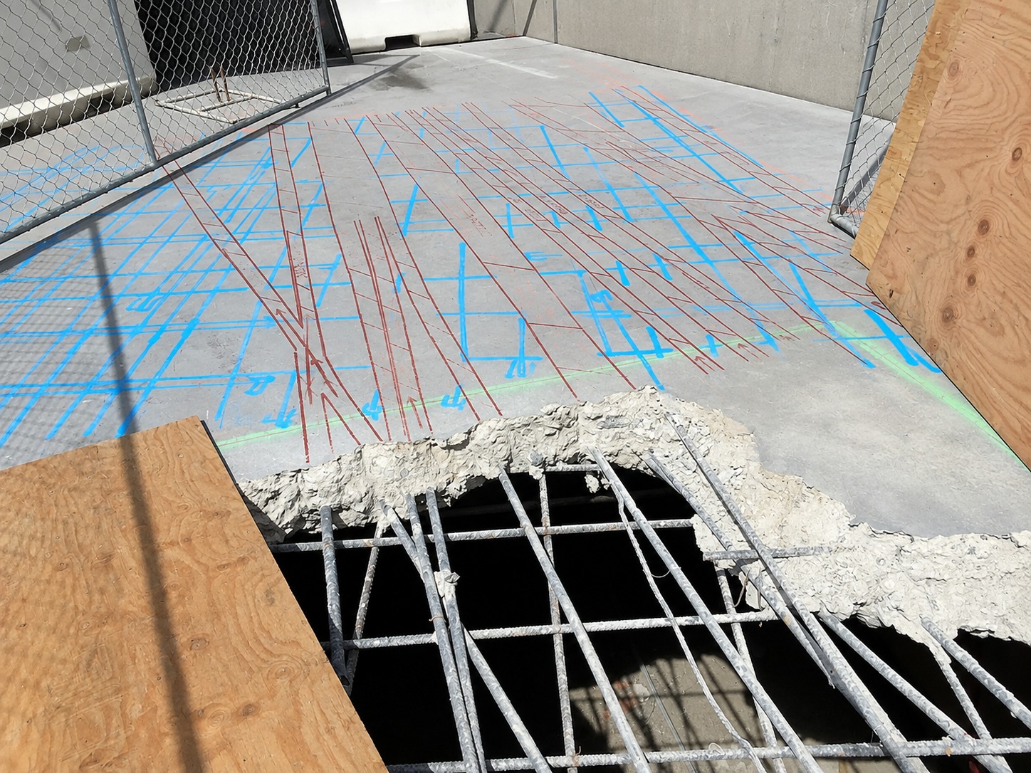
Reliable concrete scanning to locate embedded utilities, rebar, and other structures before drilling, cutting, or coring concrete surfaces.
Detailed underground utility mapping to document utility locations and routes, helping contractors and project teams plan excavation with greater confidence.
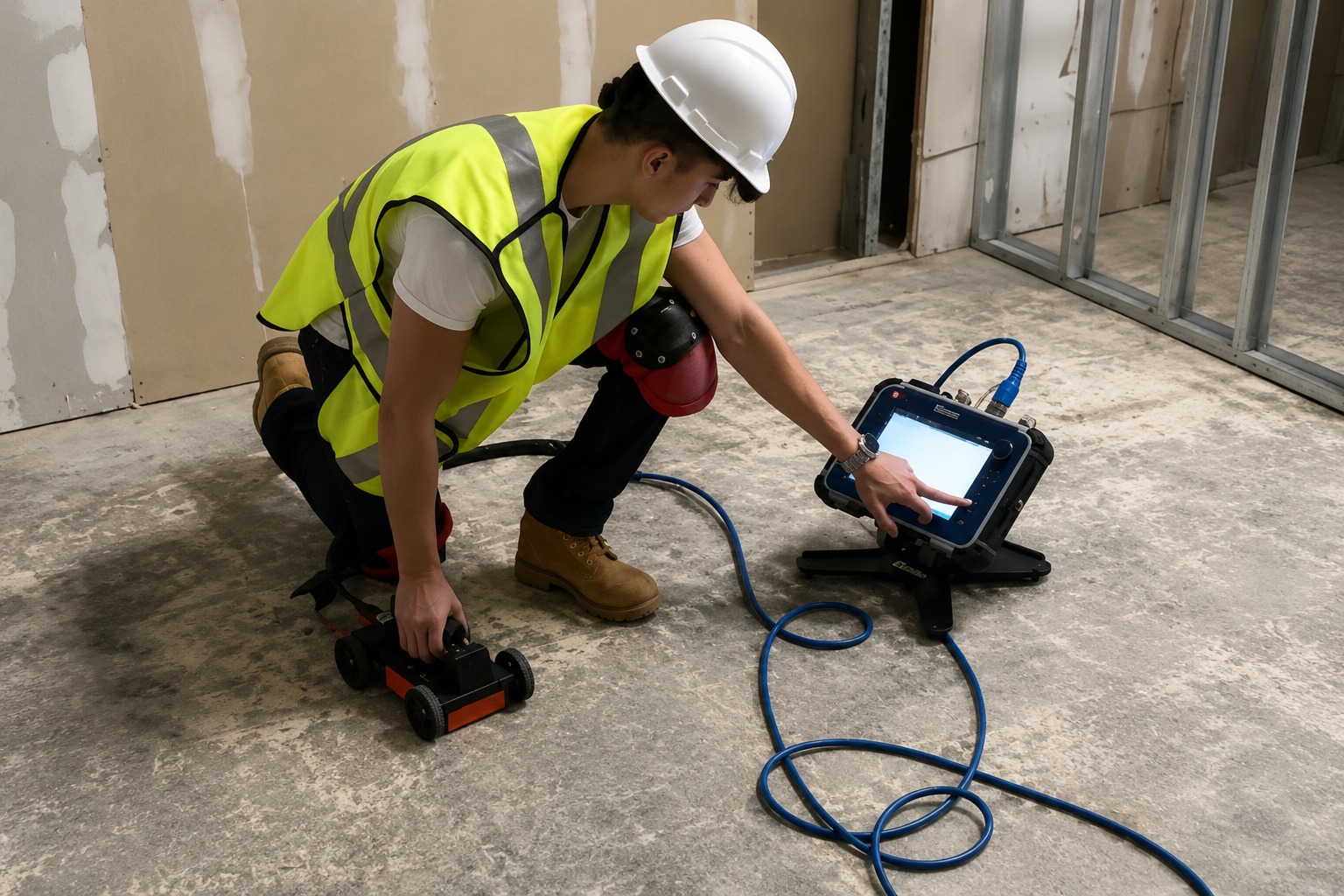
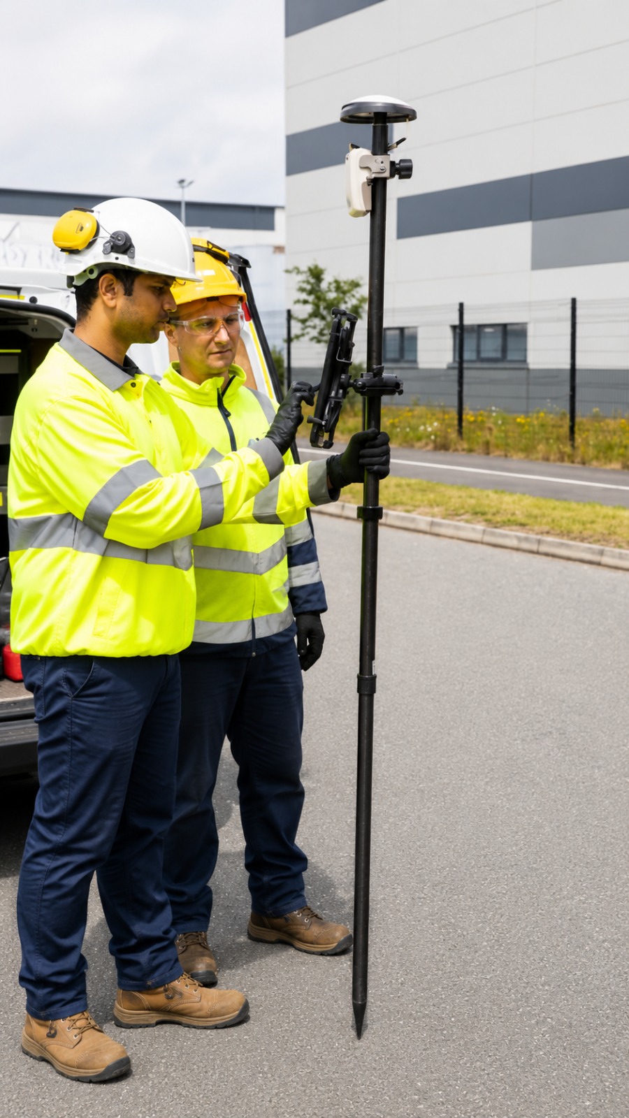
Accurate GPS/GIS utility mapping to digitally document underground infrastructure, creating organized location data for planning, construction, and asset management.
The Process
Our Simple 3 Step Process

Contact Us
Start by completing the 'Get a Free Quote' form on our website to share your needs with us so we can take care of you.

Schedule Your Estimate
Next, we'll arrange a property visit at a time that works for you to provide an in-person estimate for your needs.

Get The Job Done
After you approve our estimate, we'll schedule a date to complete the job. Our team will work hard to exceed your expectations!
photo gallery
See Why Our Customers Love Us
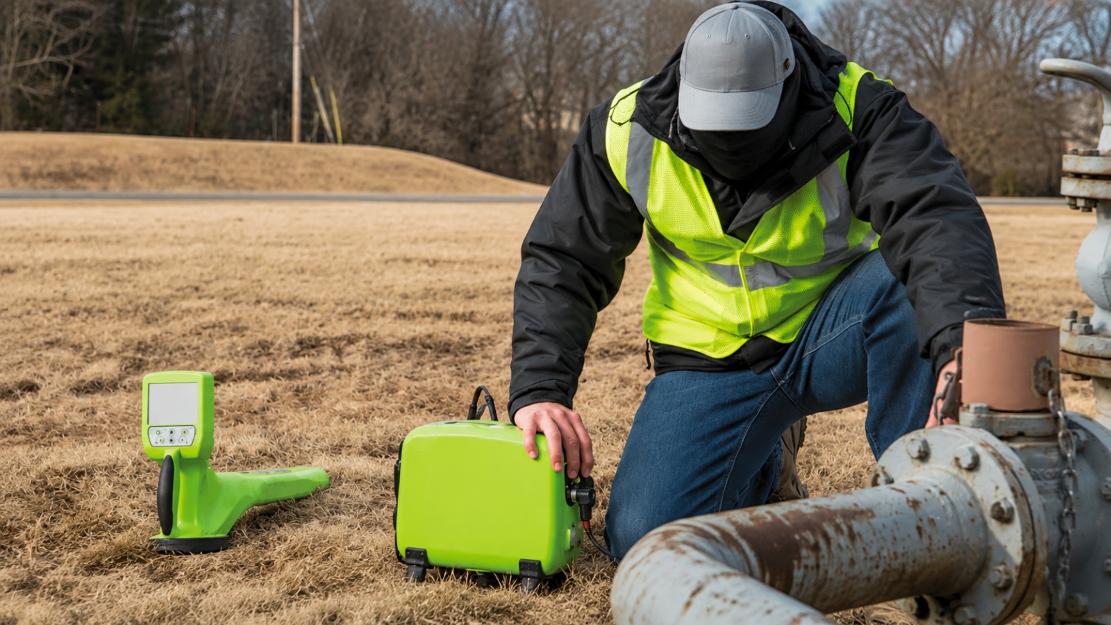
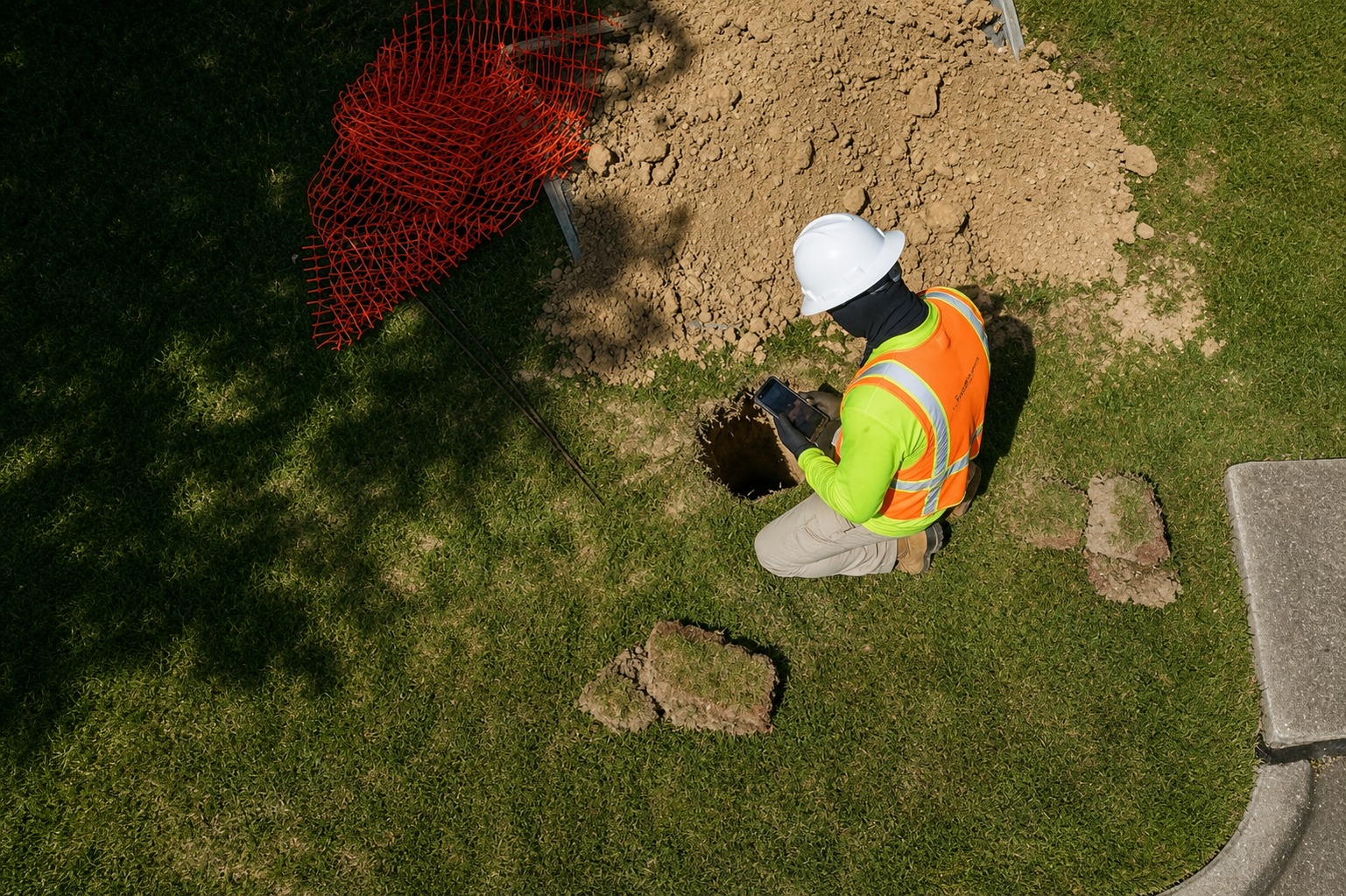
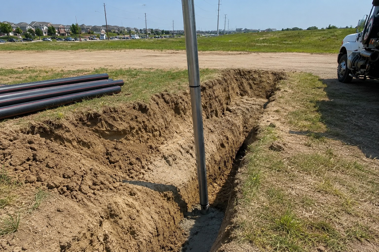
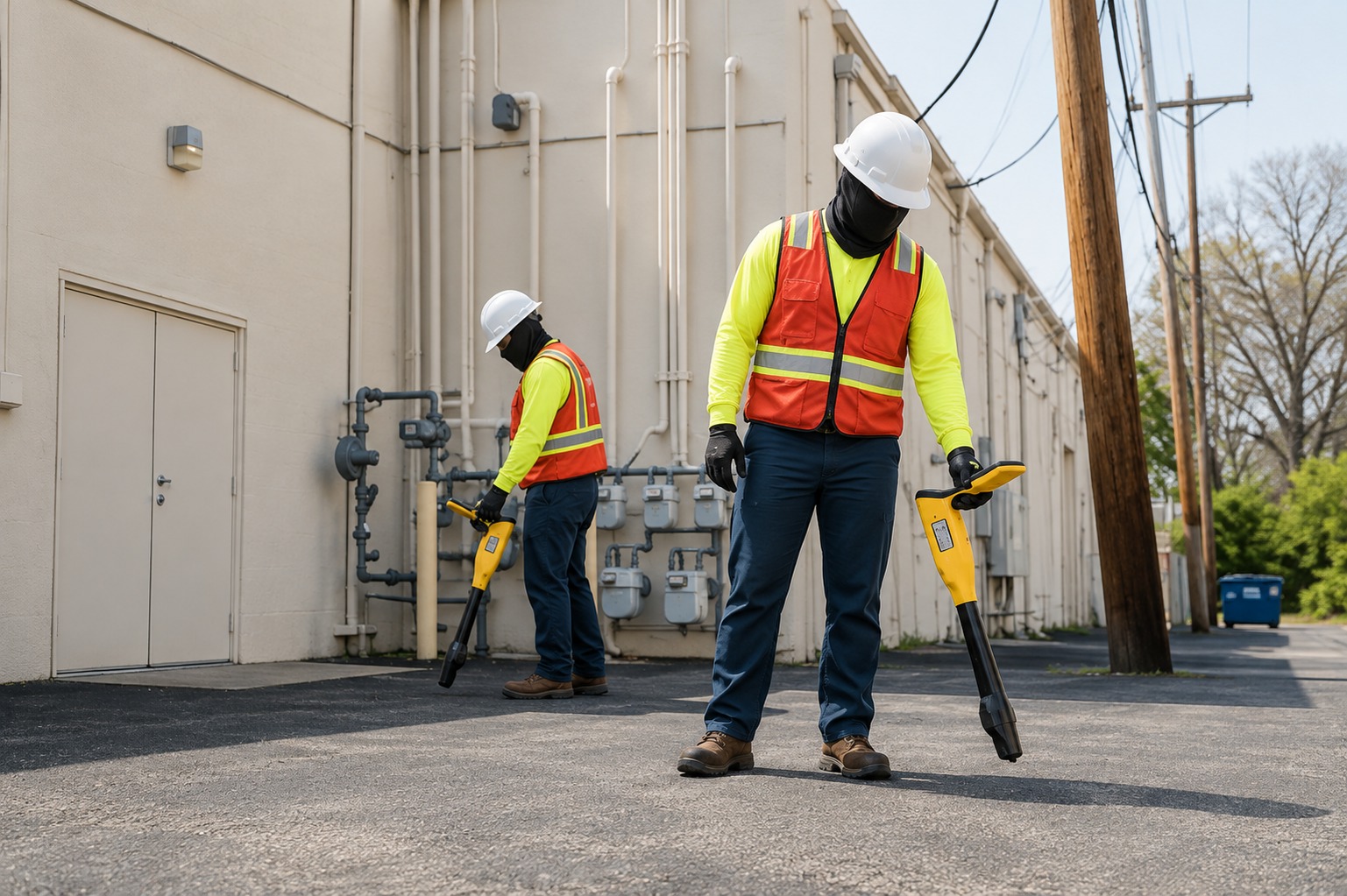
Our Service Area?
Fargo
Bismarck
Grand Forks
Minot
West Fargo
Williston
Dickinson
Mandan
Jamestown
Wahpeton
Devils Lake
Valley City
Grafton
Rugby
Beulah
Bottineau
Carrington
Cavalier
Cando
Casselton
Cooperstown
Crosby
Ellendale
Ellsworth
Enderlin
Fairmount
Finley
Glen Ullin
Garrison
Harvey
Hazen
Hettinger
Hillsboro
Hope
Horace
Kenmare
Killdeer
Langdon
Linton
Lisbon
Maddock
Mayville
McClusky
Medora
Mohall
New Rockford
New Town
Oakes
Park River
Parshall
Pembina
Portland
Ray
Stanley
Tioga
Towner
Washburn
Watford City
Westhope
Wishek
Our Reviews
What Our Customers Have to Say About Us!
Very professional and reliable service. The team located underground utilities accurately and explained everything clearly. They helped us avoid delays and made our project much safer.

Excellent experience from beginning to end. The utility locating and mapping work was thorough, accurate, and completed on schedule. I would definitely recommend their services.
Great team and excellent attention to detail. They provided accurate utility information and were very professional throughout the project. The service was efficient and dependable.
FREQUENTLY ASKED QUESTIONS
What utility locating services do you provide?
We provide Private Utility Locating, Utility Marking, GPR Scanning, Concrete Scanning, Underground Utility Mapping, and GPS/GIS Utility Mapping to help identify and document underground infrastructure.
Why is underground utility locating important?
Utility locating helps identify underground lines and infrastructure before excavation begins. This can reduce the risk of utility strikes, property damage, project delays, and costly repairs.
Do you provide GPR scanning services?
Yes. Our Ground Penetrating Radar (GPR) scanning services help detect and identify subsurface features, including utilities and other structures, without unnecessary excavation.
Can you create maps of underground utilities?
Yes. We provide underground utility mapping and GPS/GIS mapping to help document the location and layout of identified underground infrastructure for planning, construction, and future reference.
Who can benefit from utility locating services?
Our services can benefit contractors, excavators, engineers, property owners, developers, municipalities, and construction teams that need reliable underground utility information before starting work.
Request A Free Quote
BUSINESS
SERVICES
SERVICE AREAS
OPERATING HOURS
Sun: Closed
Mon: 7:00am - 7:00pm
Tue: 7:00am - 7:00pm
Wed: 7:00am - 7:00pm
Thu: 7:00am - 7:00pm
Fri: 7:00am - 7:00pm
Sat: 7:00am - 7:00pm